
Land Survey with GPS
Precise land surveying using modern GPS total-station equipment for accurate boundaries and levels.
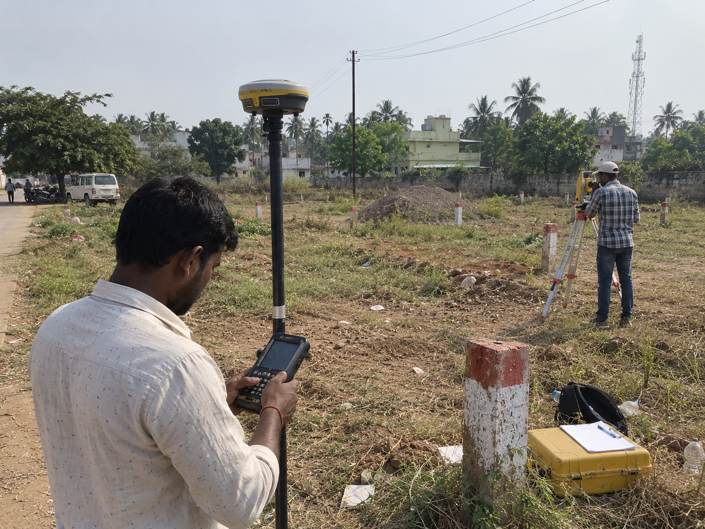
Service Overview
We provide accurate land surveying services using GPS and modern surveying equipment to establish site measurements, boundaries and important physical features of a property. Proper surveying provides a reliable foundation for planning, design, estimation and other engineering work. Our survey work can be used for residential plots, agricultural land, layouts and other property-related requirements. The collected site information is carefully recorded and can be used for preparing plans, checking dimensions and supporting subsequent engineering and approval activities.
What's Included
- GPS total-station survey
- Boundary demarcation
- Contour & level survey
- Topographic mapping
Explore Other Services
Plan Approval
Corporation, Panchayat & multi-storey building approvals for hospitals, halls, warehouses, hotels and apartments.
View detailsEstimation & Valuation
Accurate cost estimation and certified property valuation for construction, loans and legal needs.
View detailsLayout Approvals & Regularisation
Layout approvals (more than 250 acres & above), sub-division and plot regularisation.
View detailsPlanning a project?
Let's get your approvals moving.
Talk to Er. E. Santhanam and get a free consultation for plan approvals, surveys, valuation and design.